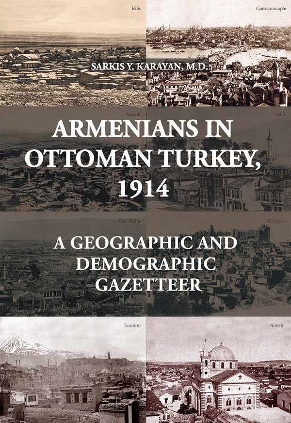
Armenians in Ottoman Turkey, 1914: A Geographic and Demographic Gazetteer
Sarkis Y. Karayan
Gomidas Institute, 2018,
674 pp, maps, photos
ISBN 978-1-909382-42-8, pb.,
Price: UK£55.00 / US$70.00
To order please contact books@gomidas.org
Introduction (5)
The Fate of Armenians in the Ottoman Empire and Republican Turkey, 1844–1927 (11)
The Armenian Patriarchate’s Figures, 1882-1912 (13)
Turkish Official Figures on Armenians in the Ottoman Empire and the Republic of Turkey, 1828-1990 (23)
European Sources on the Population of the Ottoman Empire (35)
The Armenia Diaspora (41)
The Number of Armenian Lives Lost in Turkey and the Caucasus from Nov. 11th, 1918 to Dec. 31st, 1922 (53)
Summary of Armenian Population Figures from the Armenian Patriarchate (1882 and 1910), Ottoman Statistics (1914) and the Author’s Figures (1914) (65)
Final Calculation of Total Armenian Lives Lost During 1915–1918 (67)
PART 2
Map of Anatolia and Armenia ( cir. 1918 (70)
A Summary of the Administrative Division of the Ottoman Empire Inhabited by Armenians, 1914 (73)
How to Use This Gazetteer (including abbreviations and transliteration keys) (85)
Map of Ottoman Vilayets cir. 1914 (90)
Adana Vilayet (91)
Aleppo Vilayet (113)
Angora Vilayet (147)
Archipelago Islands Vilayet (165)
Bitlis Vilayet (169)
Brusa Vilayet (223)
Chatalja Sanjak (243)
Constantinople Vilayet (247)
Diarbekir Vilayet (265)
Edirne Vilayet (301)
Erzerum Vilayet (309)
Izmid Sanjak (353)
Kaleyi-Sultaniye Vilayet (365)
Kastamuni Vilayet (369)
Konya Vilayet (385)
Mamuret-ul-Aziz [Kharpert] Vilayet (395)
Sivas Vilayet (431)
Smyrna Vilayet (473)
Trebizond Vilayet (485)
Van Vilayet (523)
Unidentified Locations (563)
APPENDIX
1. The Average Size of Armenian Families Prior to 1914 (567)
2. Population Pyramid: Estimated Age Composition in Industrialized and Developing (Underdeveloped) Regions of the World, 1960s (571)
3. The Main Maps Used in This Study (573)
BIBLIOGRAPHY
Monographs (577)
Periodicals and Newspapers (593)